Devil’s Fist Hong Kong: Coastal Route & Speedboat Access Guide
Devil’s Fist, also known as Wong Chuk Kok Tsui, is one of Hong Kong’s most dramatic northeast coastal formations. This guide explains practical transport options, speedboat access and marine conditions before planning a trip.
Quick Answer
Devil’s Fist is a remote northeast Hong Kong coastal location with no regular public ferry access. Most visitors reach the area through private speedboat or island-hopping boat routes, depending on marine conditions and weather suitability.
Why Devil’s Fist Is Famous
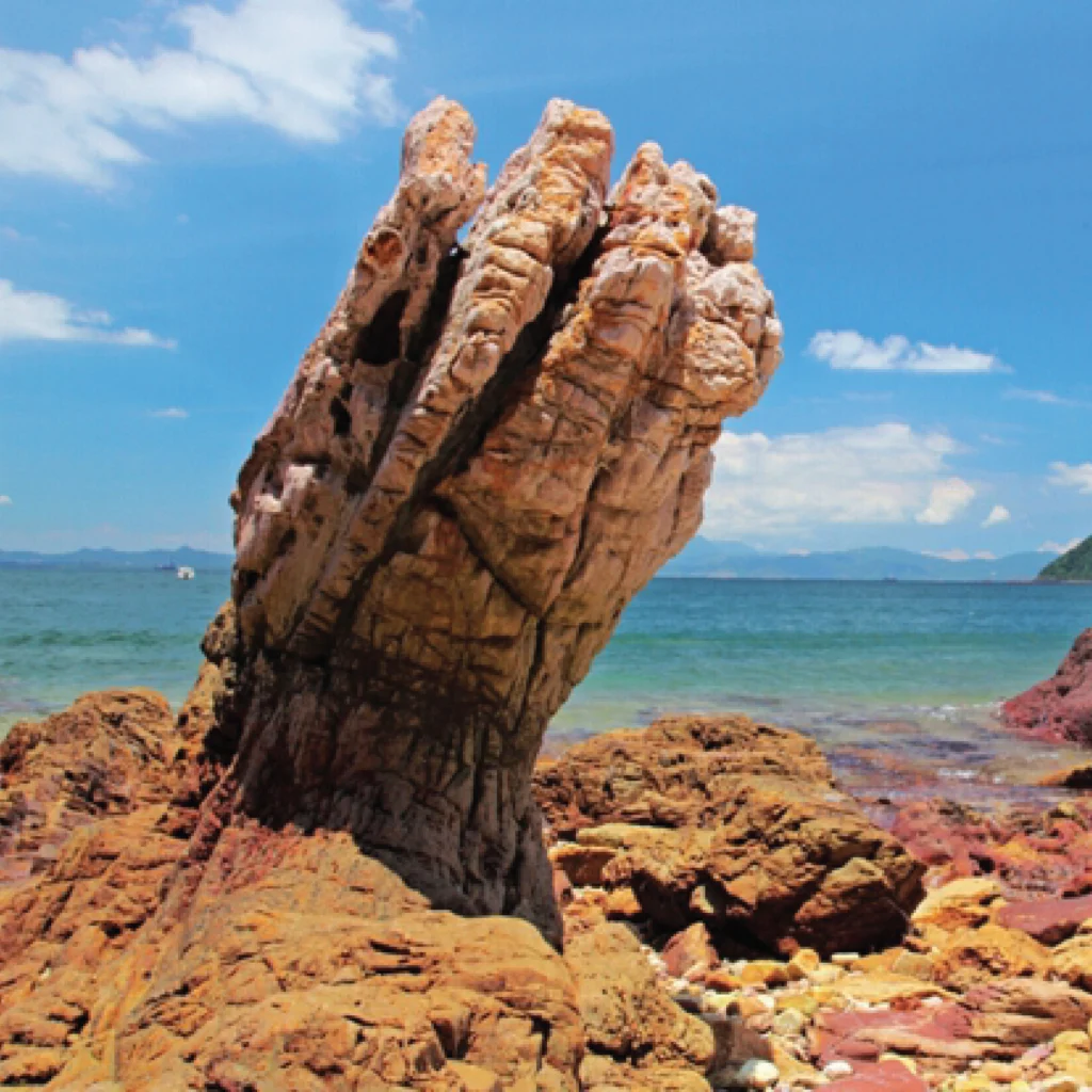
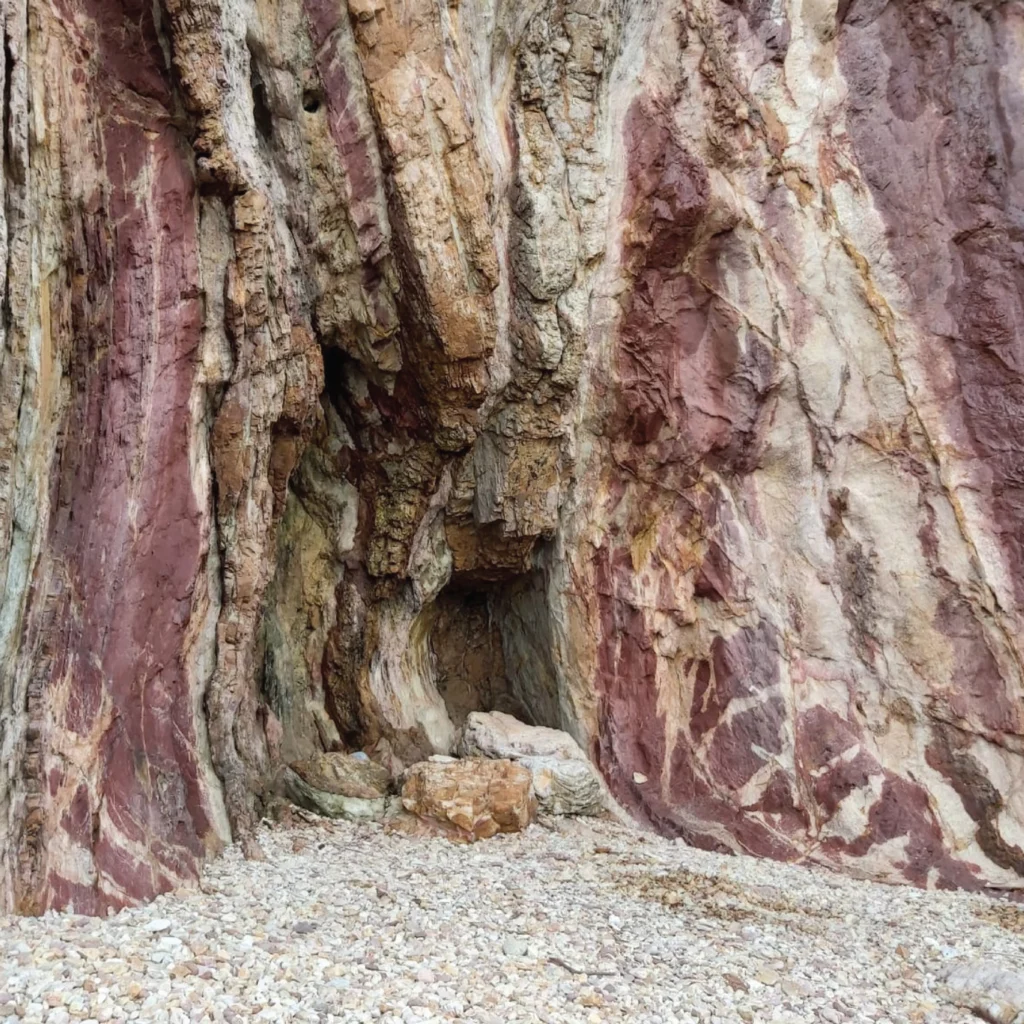
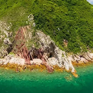
Devil’s Fist is known for its sharp coastal rock formation extending into the northeast waters of Hong Kong. The dramatic geological shape and exposed sea environment make it one of the most recognizable coastal landmarks in the region.
The location is usually visited as part of northeast island exploration routes together with Port Island, Tung Ping Chau or nearby geological coastal areas.
Because the coastline faces open sea conditions, weather and swell can affect route comfort significantly.
Best Known For
- Dramatic coastal rock formation
- Remote northeast scenery
- Geological coastal exploration
- Photography trips
- Island-hopping routes
- Open sea cliff landscapes
Devil’s Fist Transport & Access
Most Devil’s Fist trips require private marine transport because there is no direct public ferry route to the coastal formation.
Private Speedboat
Flexible transport option for small groups exploring northeast Hong Kong coastal routes.
Island Hopping Routes
Devil’s Fist is commonly combined with Port Island, Tung Ping Chau and other northeast island destinations.
Flexible Route Planning
Departure points and route design may change depending on wind direction and sea conditions.
Marine Conditions Matter Significantly
Devil’s Fist faces exposed northeast sea conditions where wind and swell can affect route comfort heavily, especially for smaller boats.
Sunny weather alone does not guarantee calm sea. Wind direction and seasonal monsoon patterns are often more important than rainfall forecast.
Good route planning should consider marine forecast, wave conditions and passenger comfort before confirming transport.
Important Marine Factors
- Wind direction
- Northeast monsoon
- Wave & swell conditions
- Open sea exposure
- Passenger comfort
- Safe weather windows
Frequently Asked Questions
How do I get to Devil’s Fist?
Most visitors reach Devil’s Fist through private speedboat or northeast island-hopping boat routes.
Is there public ferry access?
No direct public ferry service operates to Devil’s Fist because it is a remote coastal geological location.
Why are marine conditions important?
The northeast coastline is exposed to open sea swell and wind, which can affect comfort and route feasibility significantly.
Planning a Devil’s Fist Trip?
Tell us your preferred date, group size and route idea. SKR can help check marine conditions, transport feasibility and suitable speedboat arrangement.